Geography Archives | National Humanities Center

Geography

%customfield(subject)%

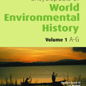
Encyclopedia of World Environmental History. 3 vols.

Edited by Shepard Krech, III (Trustee; NHC Fellow, 1993–94; 2000–01), John Robert McNeill, and Carolyn Merchant In order to address today's global environmental challenges, it is important to understand them within the context of humankind's influences on its environment throughout the ages. The Encyclopedia of World Environmental History provides much needed explanation of urgent social and environmental … Continued

%customfield(subject)%

Old Lands: A Chorography of the Eastern Peloponnese

By Christopher Witmore (NHC Fellow, 2014–15) Old Lands takes readers on an epic journey through the legion spaces and times of the Eastern Peloponnese, trailing in the footsteps of a Roman periegete, an Ottoman traveler, antiquarians, and anonymous agrarians. Following waters in search of rest through the lens of Lucretian poetics, Christopher Witmore reconstitutes an untimely mode … Continued

%customfield(subject)%

Reinterpreting Exploration: The West in the World

Edited by Dane Kennedy (NHC Fellow, 2010–11) Exploration was a central and perhaps defining aspect of the West's encounters with other peoples and lands. Rather than reproduce celebratory narratives of individual heroism and national glory, this volume focuses on exploration's instrumental role in shaping a European sense of exceptionalism and its iconic importance in defining … Continued

%customfield(subject)%

Religion, Space, and the Atlantic World

By John Corrigan (NHC Fellow, 2014–15) While the concept of an Atlantic world has been central to the work of historians for decades, the full implications of that spatial setting for the lives of religious people have received far less attention. In Religion, Space, and the Atlantic World, John Corrigan brings together research from geographers, anthropologists, … Continued

%customfield(subject)%

Rome’s World: The Peutinger Map Reconsidered

By Richard J. A. Talbert (NHC Fellow, 2000–01) The Peutinger Map is the only map of the Roman world to come down to us from antiquity. An elongated masterpiece, full of colorful detail and featuring land routes across Europe, North Africa, and the Near East, it was rediscovered mysteriously around 1500 and then came into … Continued

%customfield(subject)%

Ships on Maps: Pictures of Power in Renaissance Europe

By Richard W. Unger (NHC Fellow, 2008–09) Renaissance map-makers produced ever more accurate descriptions of geography, which were also beautiful works of art. They filled the oceans Europeans were exploring with ships and to describe the real ships which were the newest and best products of technology. Above all the ships were there to show … Continued

%customfield(subject)%

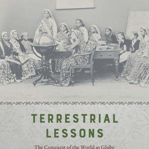
Terrestrial Lessons: The Conquest of the World as Globe

By Sumathi Ramaswamy (NHC Fellow, 2013–14) Why and how do debates about the form and disposition of our Earth shape enlightened subjectivity and secular worldliness in colonial modernity? Sumathi Ramaswamy explores this question for British India with the aid of the terrestrial globe, which since the sixteenth century has circulated as a worldly symbol, a … Continued

%customfield(subject)%

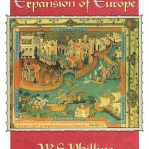
The Medieval Expansion of Europe

By J. R. S. Phillips (NHC Fellow, 1987–88) Between the year 1000 and the mid-14th century, several remarkable events unfolded as Europeans made contact with a very substantial part of the inhabited world, much of it never previously known or suspected to exist by them. Leif Ericsson and other Vikings discovered North America; European crusading … Continued

%customfield(subject)%

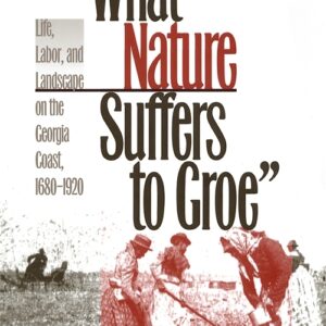
“What Nature Suffers to Groe”: Life, Labor, and Landscape on the Georgia Coast, 1680-1920

By Mart A. Stewart (NHC Fellow, 2002–03) “"What Nature Suffers to Groe" explores the mutually transforming relationship between environment and human culture on the Georgia coastal plain between 1680 and 1920. Each of the successive communities on the coast-the philanthropic and imperialistic experiment of the Georgia Trustees, the plantation culture of rice and sea island cotton … Continued

%customfield(subject)%

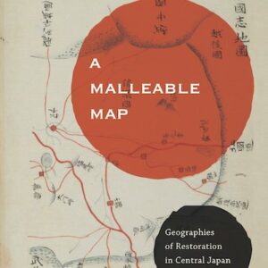
A Malleable Map: Geographies of Restoration in Central Japan, 1600-1912

By Kären Wigen (NHC Fellow, 1999–00) Kären Wigen probes regional cartography, choerography, and statecraft to redefine restoration (ishin) in modern Japanese history. As developed here, that term designates not the quick coup d’état of 1868 but a three-centuries-long project of rehabilitating an ancient map for modern purposes. Drawing on a wide range of geographical documents … Continued