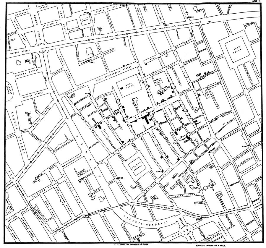
Often, when teaching about historical events, there is an over-emphasis on chronology without strong enough consideration given to geography. The use of geospatial technologies allows interactions of place, space, time, and scale to be more obvious, encouraging students to develop the ability to answer not only “where?” but “why there?”
“GIS in the Humanities Classroom” will introduce participants to the transformative power of Geographic Information Systems (GIS). Over five weeks, the course will detail approaches to embedding geospatial technology in existing classroom instruction, as well as methods for using geography to enrich humanities narratives. By focusing on inquiry-based instruction, the course will provide insights into the ways that GIS tools contribute to a deeper understanding of humanities subjects.
This course has been designed with the generous support of the Virginia Geographic Alliance.
Sample Topics
- Introduction to Geoliteracy
- What is GIS? Mapping the Fate of the Titanic
- Why New Orleans? Filtering Data


