August 1–2 and October 17–18, 2016 at the National Humanities Center
Overview
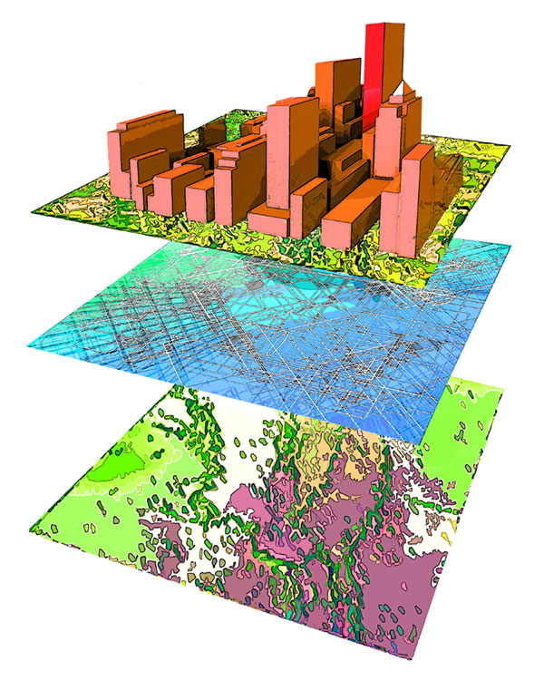
Geospatial literacy is a term that describes the ways in which a person views, understands, and interacts with the world. The geoliterate individual has an understanding of the dynamic physical and cultural forces that interact across the world. He or she has a spatial awareness of the world and is able to see and understand patterns, distributions, and interactions of the physical and human realms.
As geospatial literacy and technology continue to advance the work of humanities scholarship and education, the National Humanities Center supports efforts to model and train teachers in the best approaches in the field.
These grant-funded training sessions will provide select teachers and influencers with the opportunity to immerse themselves in the concepts of geoliteracy and explore new approaches to interdisciplinary projects in their classrooms. ArcGIS Online and Story Map accounts are available for free, and these workshops will give participants training in ways to embed these tools into their instruction to benefit student learning.
The National Humanities Center looks to support a geospatial approach to the humanities by providing explicit connections with teaching and learning and spatial humanities. This cohort of well-trained educators and education professionals in central North Carolina will lead a call to action for advocacy and continued training in all participating organizations and school districts.
Participants
These institutes are intended for teacher leaders and education influencers at K–12 public and independent schools as well as instructors, professors, and education influencers at community colleges and universities. Each institute will be designed with appropriate educational level context in mind.

Session 1 (August 1–2, 2016) assembled twelve middle and secondary grade educators from an application pool of humanities educators (history, world history, geography, civics, English and literature), library and media staff, and/or instructional coaches. Using the best practice approach of humanities education pedagogy, the session featured clear pathways to integrate geospatial tools in the classroom. Extensive experience with digital mapping and spatial analytics technologies was not required. Far more important was the willingness to expand instructional strategies and approaches to integrate geoliteracy into storytelling and narrative. Meet the Session 1 Cohort here.
Session 2 (October 17–18, 2016) assembled twelve education leaders and influencers, including NHC education staff, current NHC Fellows and alumni, and instructors, professors, and education influencers at community colleges and universities. As humanists, these participants have research goals that can be extended with geospatial tools in addition to exploring new teaching approaches for their post-secondary classroom. Meet the Session 2 Cohort here.
Structure
Each session will run for two days from 8:30am to 3:30pm. The session will be facilitated in a highly interactive, hands-on manner. Each participant will need his or her own laptop.
| Day 1 | |
|---|---|
| AM Session | Getting to Know ArcGIS Online – Understanding How to Use GIS as a Teaching Tool |
| PM Session | Working with StoryMaps |
| Day 2 | |
| AM Session | Creating and Managing Your Organizational Accounts |
| PM Session | Using ArcGIS Online to Create Presentations |
Outcomes and goals include:
- transforming classes with project-based learning that builds engagement with community projects and field studies
- digging deeper with data analysis to explore complex information that makes patterns and trends stand out
- exercising expanded communication skills by combining mapping skills with data, media, and text
- expanding student marketability in the workplace by encouraging sophisticated communication skills and habits
- expanding student skills in problem solving, data analysis, and technology integration
Participants will receive a $100 stipend to support travel expenses. Parking and wifi at the National Humanities Center is free. However, lodging for participants out of the central Carolina area will not be provided.
Instructors
Chris Bunin
 Bunin is a teacher of A.P. Human Geography, World History, and Geospatial Technologies at Albemarle High School in Charlottesville, Virginia. During the past decade he has collaborated on projects focused on leveraging geospatial technologies and geo-literacy in the classroom. These include “The Virginia Experiment” and “America on the World Stage” Teaching American History Projects; the iSTEM Teacher Scholars Program: An Applied Geospatial Curriculum for Middle Schools; “Transatlantic Teacher Scholars: Change Over Time and Place in the Meuse-Argonne American Cemetery”; Esri’s GeoInquiries for U.S. History and Human Geography; the U.S. Census Bureau’s Statistics in Schools Program; and the award winning book, Jamestown to Appomattox: Mapping U.S. History Using GIS (Carte Diem Press). He is also assistant professor of geography at Piedmont Virginia Community College and a member of the Virginia Geographic Alliance Steering Committee.
Andy Mink
 Mink is Vice President for Education Programs at the National Humanities Center in Durham, North Carolina. Previously he served as the executive director of LEARN NC at the University of North Carolina at Chapel Hill after working as director of outreach and education for the Virginia Center for Digital History and then the Curry School of Education at the University of Virginia. With all these organizations, he has designed and led professional development programs for K–12 and university educators that focus on hands-on instructional models. In 2002, Andy was named the National Experiential Educator of the Year by the National Society of Experiential Education. He is a Master Teacher with the Organization of American Historians in their Distinguished Speaker Program and also serves on the executive board of the National Council for Social Studies and the board of trustees for the National Council for History Education. He was awarded the 2015 Outstanding Support for Geography Education Award by NCGE, and he serves as a GeoMentor with the Association of American Geographers.